Forest Watershed Management Information System
Optimize efficiency, conservation, and ecological balance — all at your fingertips.
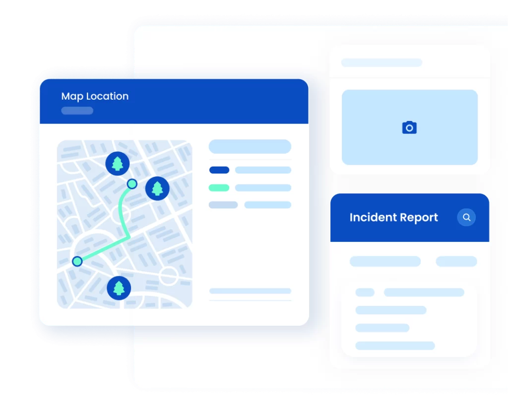
Digital solution where innovation meets sustainability
AccessGov Forest Watershed Management Information System
aims to integrate a systematic process and reliable communication among the local government, watershed managers, and community in ensuring that the watershed and disaster preparedness system works seamlessly.
Collecting, storing, monitoring, and evaluating information are now made easier and more accessible with our latest technology application. Our WMIS is a platform that guarantees easy navigation and implementation of programs such as environmental protection, biodiversity conservation, community relations, and social welfare.
Harness the Power to Shape the Environment Resources
A dynamic solution designed to conserve and safeguard water for generations to come.
Starter
Lorem ipsum dolor sit amet, Integer ne. consectetur adipiscing elit.
- Lorem ipsum dolor sit. Integer ne.
- Lorem ipsum dolor sit. Integer ne.
- Lorem ipsum dolor sit. Integer ne.
- Lorem ipsum dolor sit. Integer ne.
- Lorem ipsum dolor sit. Integer ne.
- Lorem ipsum dolor sit. Integer ne.
Advanced
Lorem ipsum dolor sit amet, Integer ne. consectetur adipiscing elit.
Everything in Starter, plus:
- Lorem ipsum dolor sit. Integer ne.
- Lorem ipsum dolor sit. Integer ne.
- Lorem ipsum dolor sit. Integer ne.
- Lorem ipsum dolor sit. Integer ne.
Essential
Lorem ipsum dolor sit amet, Integer ne. consectetur adipiscing elit.
Everything in Advanced, plus:
- Lorem ipsum dolor sit. Integer ne.
- Lorem ipsum dolor sit. Integer ne.
- Lorem ipsum dolor sit. Integer ne.
*Prices are discussed upon inquiry
Why Use Forest Watershed Management Information System
Leverage optimum use of technology in managing watersheds with our innovative app system.

Why Choose Us
Enhance sustainability with smart watershed management. AccessGov Watershed Management Information System – WMIS provides a comprehensive platform for real-time monitoring, data-driven planning, and efficient resource management. Choose innovative solutions for sustainable environmental stewardship.
- Advanced platform for watershed monitoring and management
- Real-time data visualization and predictive insights
- Seamless integration with environmental sensors for accurate data collection
- Intuitive and user-friendly system for better decision-making
Access agroecological cloud-based system

How It Works
We use innovation to elevate governance. Step by step, we pave the way for your digital triumph.
Frequently Asked Questions
Get instant clarity on your queries, ensuring you're well-informed every step of the way.
What is the Watershed Management Information System (WMIS)?
The WMIS is a specialized digital platform designed for effective watershed management. It aims to centralize and streamline the monitoring and conservation efforts for the sustainable development of watershed areas.
Why should our municipality adopt the WMIS?
Embracing the WMIS can significantly enhance your municipality’s management of natural resources. It facilitates real-time monitoring of environmental conditions, enables informed decision-making, and supports timely interventions to ensure the health and sustainability of your watershed.
How can we trust the security of our data on WMIS?
Data security is a top priority. WMIS employs state-of-the-art security measures, including encrypted data transmission, secure hosting, regular security updates, and optional two-factor authentication to safeguard your information in accordance with data privacy standards.
Is the WMIS user-friendly for individuals with limited technical expertise?
Absolutely. The WMIS interface is designed with simplicity in mind, and comprehensive training resources and responsive customer support are available to ensure that users of varying technical backgrounds can easily navigate and utilize the system.
Need Help?
We GOV Your Back!
From planning and implementing government projects and programs, monitoring status and reports, to providing services to the public, AccessGov is just one click away.